zak.3dm
Your one stop shop for ideas friends and I have had
email/phone/fax︎cv︎ig
Cape Coral
Keenan Ngo and Zak Jacobi
Description:
Cape Coral is a waterfront wonderland and dream destination for boating and fishing without winter or state income tax. Once a low-lying swamp, intensive dredging has turned Cape Coral into the largest city of America’s fastest-growing metropolitan area; but it represents the Florida problem - erasing nature to develop low-density, auto dependent artificial landscapes barely above sea level - a utopia ignoring climate change.
Population:
201,000
Area:
310 km2
(120 square miles)
Median Income:
$76,925
201,000
Area:
310 km2
(120 square miles)
Median Income:
$76,925
Growth:
+33% since 2010
Navigable waterways:
640 km (400 miles)
Most anywhere on earth
Age dependency:
69%
+33% since 2010
Navigable waterways:
640 km (400 miles)
Most anywhere on earth
Age dependency:
69%
Population Profile:

Demographics:

Climate:
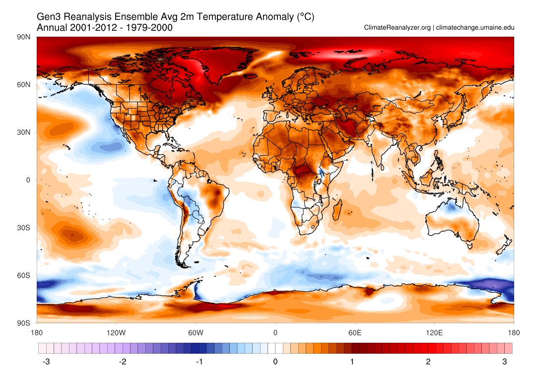
In Florida 8 of the 10 hottest years have occurred in the past two decades. 2020 was the second hottest year on record. The state experiences greater annual temperature fluctuations and an increase of 1.88 ° C since 1990.
In Florida 8 of the 10 hottest years have occurred in the past two decades. 2020 was the second hottest year on record. The state experiences greater annual temperature fluctuations and an increase of 1.88 ° C since 1990.


Cape Coral was a low-lying saltwater wetland. Dredging of the canals caused 78% of the natural ecosystem to be removed and a degradation in water quality.
The United States Army Corps of Engineers estimates sea level rise of 0.390m by 2050 while the IPCC 2021 report under an intermediate GHG emissions scenario (SSP2-4.5) estimates 0.44-0.76m by 2100 and 0.66-1.33m by 2150. Already in the past 100 years the sea level has risen by 0.3-0.4m
Already visible are more severe and frequent storms, hurricanes, storm surge, droughts, floods, extreme temperatures, and coastal erosion.
Coastal erosion is greatly reducing the community’s natural protection provided by the barrier islands and mangrove forests, further exposing it to the impacts of sea level rise.